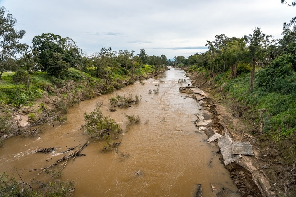
Optical and Radar Sensing Reveals Australian Flooding Impacts
A recent study published in Remote Sensing uses VIIRS night-time light brightness imagery to map the extent of flooding in Brisbane and assess the change in energy utilization for the flood effect.
Source: azooptics.com