Mapping Underwater Terrain with Bathymetric Lidar
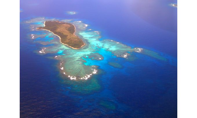
Share High-resolution bathymetric surveys support aquaculture research and increase navigational safety. In a case study, Tim Webster reports how this is done at Cape John Peninsula in Canada. In a second case study, Carol Lockhart describes a project in the Kingdom of Tonga, a Polynesian archipelago comprising 169 islands that stretches across approximately 800 kilometres in the South Pacific Ocean. Measuring water depth for nautical purposes dates back to ancient civilizations. As technology has evolved through the centuries, besides ship-based echo sounding, remote monitoring and m...
Source: hydro-international.com