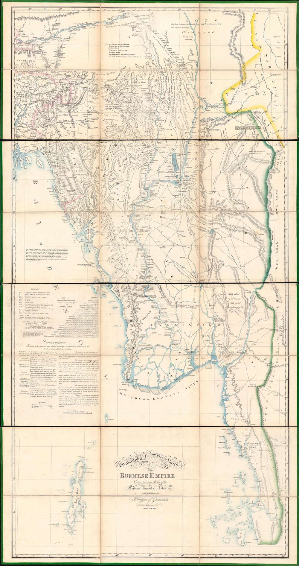
A Geographical Sketch of the Burmese Empire.: Geographicus Rare Antique Maps
1825 (dated) 1 : 1013760 Description An extraordinary 1825 large-scale map of the Empire of Burma, modern-day Myanmar, issued by the Surveyor-General (QMG) and the private Asiatic Lithographic Press in Calcutta/Kolkata at the height of the First Anglo-Burmese War (1824 - 1826). Issued in four dissected and linen-backed sheets (18.75 x 39.25 in), the map is impressive, measuring nearly 76 inches high and 40 inches wide. Coverage extends from the Brahmaputra River in northern Assam to Domel Island (Letsok-aw Island) and the Mergui Archipelago. Despite its impressive size ...
Source: geographicus.com