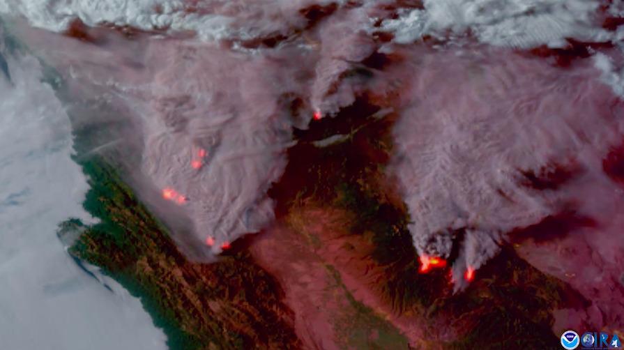
California on fire: Satellite imagery captures Dixie Fire, other fires scorching the Golden State FacebookTwitterEmail This screenshot of satellite video captured by the National Oceanic and Atmospheric Administration’s GOES-17 satellite hovering 22,300 miles in space shows massive plumes of smoke and heat signatures from the wildfires blazing in Northern California.Courtesy of NOAA Stunning imagery captured by a National Oceanic and Atmospheric Administration’s satellite 22,300 miles in space shows massive plumes of smoke and heat signatures from the wildfires blazing in Northern Califor...