Vimarsana
Biggest News Aggregation in the World

Page 13 - Historic Maps News Today : Breaking News, Live Updates & Top Stories | Vimarsana

Stay updated with breaking news from Historic Maps. Get real-time updates on events, politics, business, and more. Visit us for reliable news and exclusive interviews.

Top News In Historic Maps Today - Breaking & Trending Today

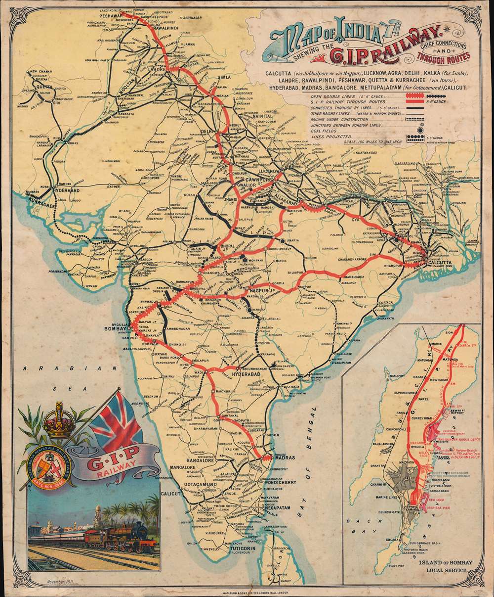
Map of India Shewing the G.I.P. Railway. Chief Connections and Through Routes.: Geographicus Rare Antique Maps - Vimarsana News

Map of India Shewing the G.I.P. Railway. Chief Connections and Through Routes.: Geographicus Rare Antique Maps

  1911 (dated)         1 : 9000000 Description A striking and rare discovery - this is a 1911 Waterlow and Company chromolithograph promotional broadside issued to promote the Great Indian Peninsular Railway (GIPR), Asia's first and greatest railroad. Boldly promoting the GIPR's expansive sub-continent wide rail network, this map was designed for display in railroad stations throughout India. The map covers the entire subcontinent, with GIPR trunk lines highlighted in red and subsidiary lines via a keyed network of symbols. In the lower right, a large inset of Bombay promotes GIPR...

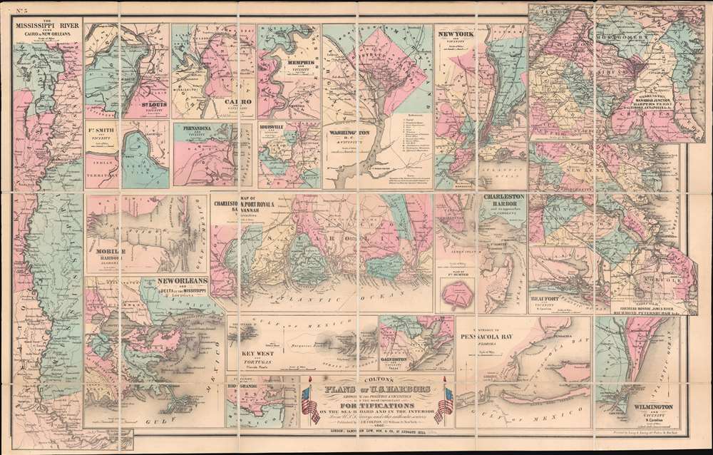
Colton's Plans of U.S. Harbors Showing the Position and Vicinities of the Most Important Fortifications on the Sea-Board and in the Interior.: Geographicus Rare Antique Maps - Vimarsana News

Colton's Plans of U.S. Harbors Showing the Position and Vicinities of the Most Important Fortifications on the Sea-Board and in the Interior.: Geographicus Rare Antique Maps

Title Colton's Plans of U.S. Harbors Showing the Position and Vicinities of the Most Important Fortifications on the Sea-Board and in the Interior.   1862 (dated)     Description This is a separate issue 1862 J. H. Colton map of the United States focusing on its many harbors and their fortifications during the American Civil War (1861 - 1865). Twenty-one plans are printed on a single sheet. Colton highlights the most important ports in both the Union and the Confederacy. Maps highlight New York City, Washington D.C., Charleston, eastern Virginia from the Chesapeake Bay west to Richmond...

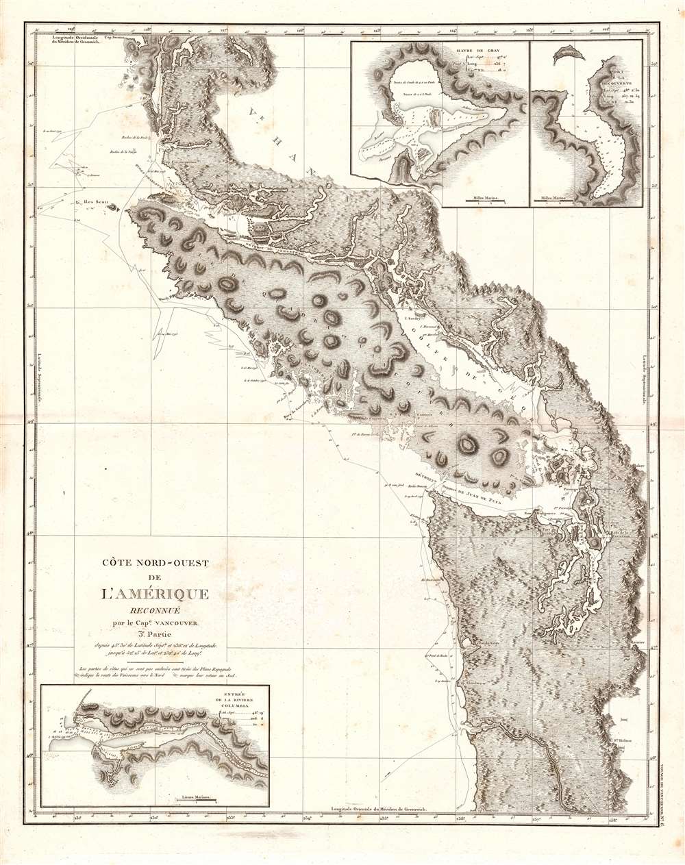
Cote Nord-Ouest de L'Amerique Reconnue par le Cape. Vanouver. 3e. Partie.: Geographicus Rare Antique Maps - Vimarsana News

Cote Nord-Ouest de L'Amerique Reconnue par le Cape. Vanouver. 3e. Partie.: Geographicus Rare Antique Maps

  1799 (undated)         1 : 1058201 Description This is the 1799 French edition of George Vancouver's 1799 nautical map of the region around Vancouver Island, the Strait of Juan de Fuca, the mouth of the Columbia River, and Queen Charlotte Sound, extending from Cape Lookout (in modern-day Oregon) to Cape Swaine (Alaska). It is considered to be the great navigator George Vancouver's most important and influential map, among those he produced in his foundational reconnaissance of the northwest coast of America (1791 - 1795). Notable FirstsThis beautifully engraved chart features a n...

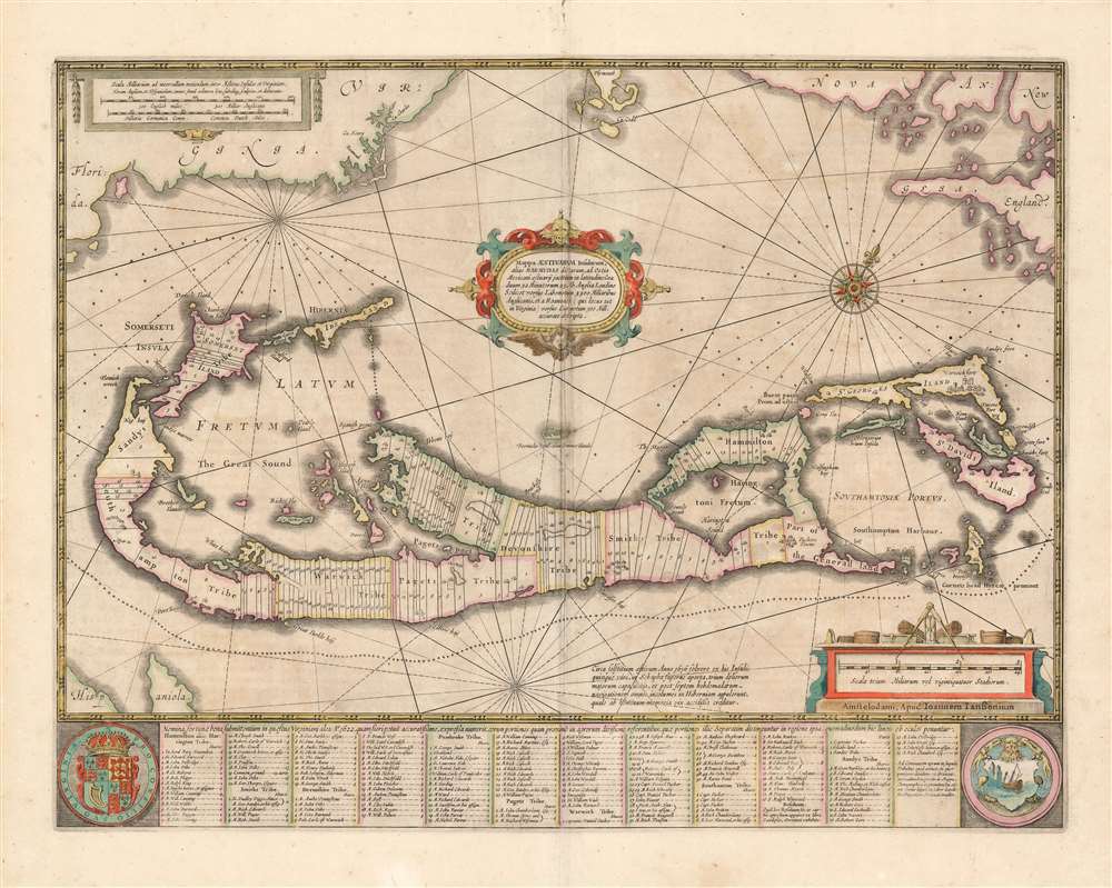
Mappa Aestivarvm Insularum, alias Barmudas.: Geographicus Rare Antique Maps - Vimarsana News

Mappa Aestivarvm Insularum, alias Barmudas.: Geographicus Rare Antique Maps

  1654 (undated)         1 : 70000 Description This is a classic 17th-century map Dutch of Bermuda, printed by Jan Jansson in 1654 and here in an original color example from the collection of the illustrious map collector, dealer, and scholar Kenneth Nebenzahl. Actually engraved by Jansson's brother-in-law Henricus Hondius, this map was based on Richard Norwood’s chart produced in 1618 for the Bermuda Company. Norwood's chart provides the primary depiction of the island available for that century. Versions of this map were printed by John Speed as well as Hondius' and Jansson's co...

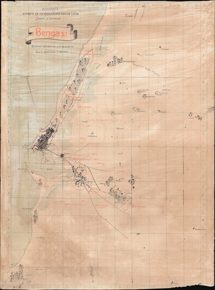
Bengasi.: Geographicus Rare Antique Maps - Vimarsana News

Bengasi.: Geographicus Rare Antique Maps

    1 : 25000 Description An extremely rare find of considerable historical significance, this is a 1912 Italian military map of Benghazi (Bengasi), Libya, during the Italo-Turkish War (1911 - 1912). Benghazi was one of the Lybian first cities occupied by the Italian army, along with Tripoli, Tobruk, and Derna. The city itself appears on the left side of the map, with city streets and blocks recognizable. Roads and railroads are also depicted, along with smaller settlements scattered along the road leading to the southwest. Oases and what are likely private villas or estates are illustrat...