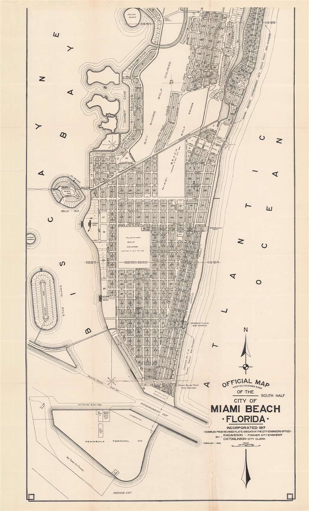
1925 (dated) 1 : 7200 Description This is Robert M. Davidson's 1925 map of Miami Beach, Florida - the earliest known example of the first official planning map of Miami Beach, drawn at the height of construction in Miami Beach and the apex of the Florida Land Boom. The map was first drawn by Davidson, Miami Beach's first City Engineer, in 1920, with the present example bearing the date of February 1925. The map covers from 42nd Street to South Point, covering modern day South Beach and parts of Mid-Beach. The map reveals the early planning and lotting of Miami Beach, noti...