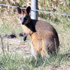
Map boosts road safety and protects wildlife
The data includes fauna injury and road-kill statistics collected by Council since 2011. Input was also sought from agencies including the RSPCA, the Department of Main Roads and Transport and environmental database, WildNet. The data was analysed in conjunction with University of Queensland to produce a new city-wide priority species Wildlife Vehicle Collision Hot Spots map, which replaces a less-comprehensive 2018 version. Environment Chair, Deputy Mayor Jon Raven said the new map would help improve road safety and protect our local wildlife populations. “We know our community is passiona...
Source: miragenews.com