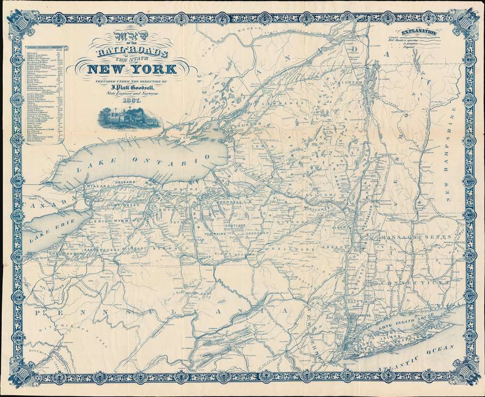
Map of the Rail-Roads of the State of New York.: Geographicus Rare Antique Maps
1867 (dated) 1 : 1000000 Description A striking, cyan-toned railroad map of New York State issued in 1867 by Jonas Platt Goodsell. The map offers expansive coverage of New York, as well as some of the adjacent states, including all of Vermont, western Massachusetts and Connecticut, and northern Pennsylvania. This map was issued in Godsell's final year as State Engineer and Surveyor, and indeed the final year of his life. New York RailroadsThe railroad system came to New York early, with some companies operating as early as the 1820s. Nonetheless, most of these focus...
Source: geographicus.com