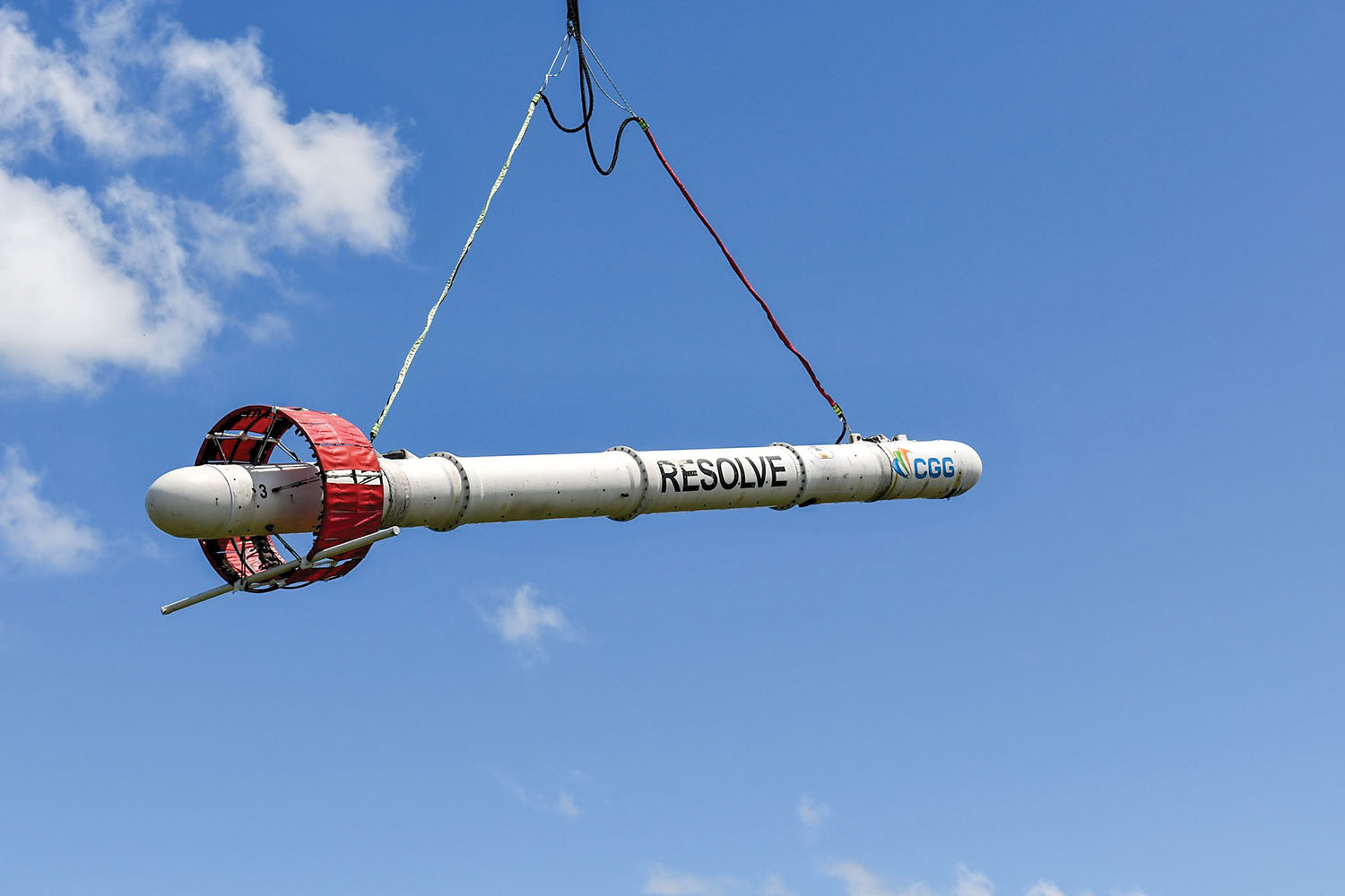
Corps, USGS Deploy 800-Pound 'Dart' To Map Levees - The Waterways Journal
The Vicksburg Engineer District and the U.S. Geological Survey (USGS) are using an innovative tool to scan beneath the surface of levees along the river.
Source: waterwaysjournal.net