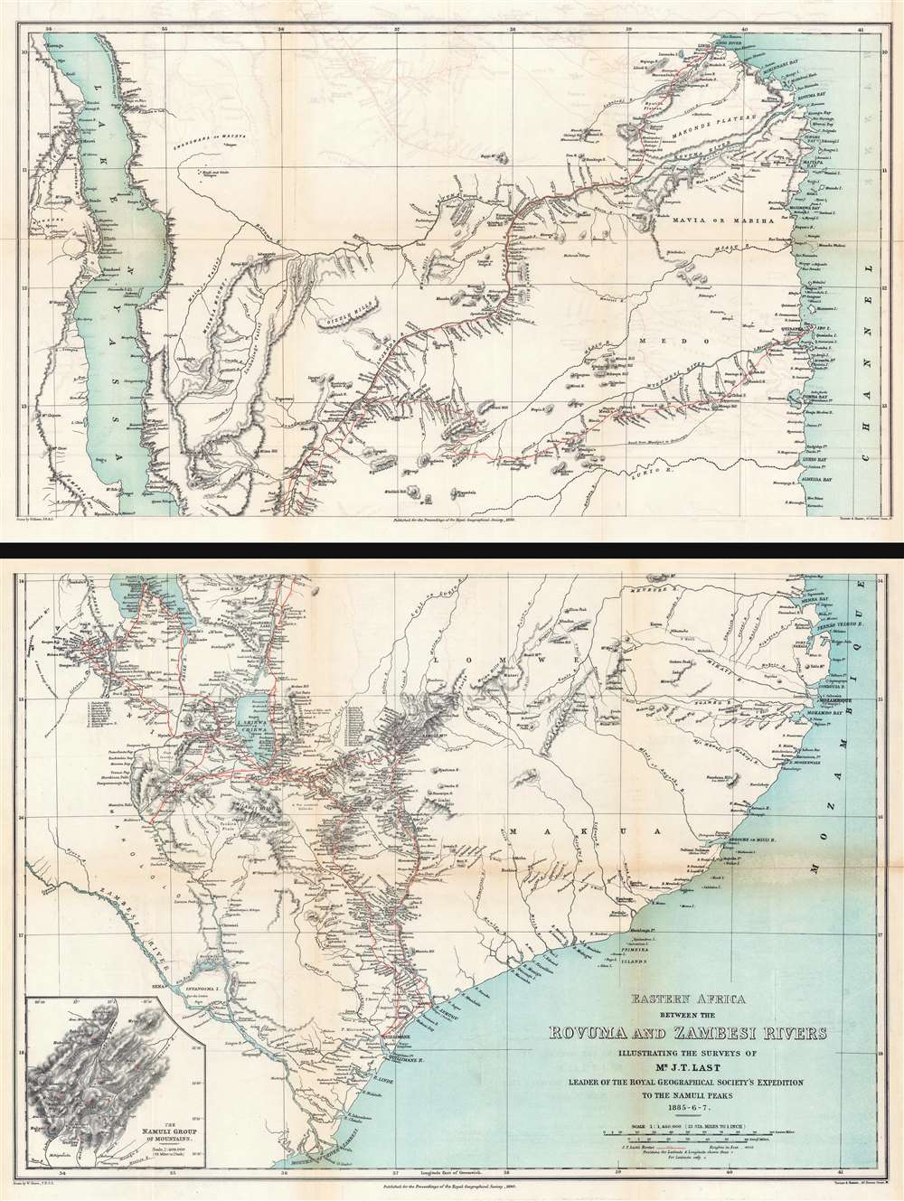
Eastern Africa Between the Rovuma and Zambesi Rivers Illustrating the Surveys of Mr. J.T. Last Leader of the Royal Geographical Society's Expedition to the Namuli Peaks 1885 - 6
RovumaZambesiRivers-shawe-1890 $950.00 Title Eastern Africa Between the Rovuma and Zambesi Rivers Illustrating the Surveys of Mr. J.T. Last Leader of the Royal Geographical Society's Expedition to the Namuli Peaks 1885 - 6 - 7. 1890 (dated) 1 : 1450000 Description This is an 1890 William Shawe map of southeastern Africa detailing the expedition of Joseph Thomas Last to Portuguese East Africa. Printed on two sheets, the map depicts the region from Lake Nyasa to the Mozambique Channel and from the mouth of the Lindi River south to the mouths of the Zambezi River. In modern...
Source: geographicus.com