The curious case of the US town marooned in Canada
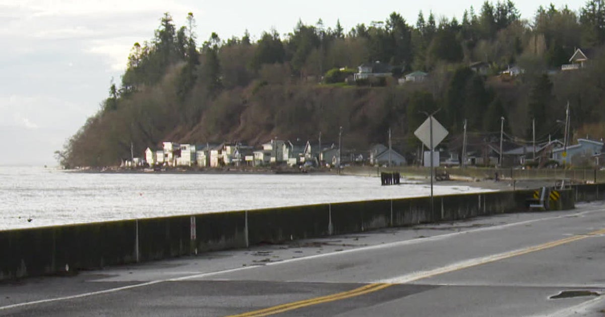
Richard Read12:02, Jun 25 2021 Makaristos/wikimedia commons The international boundary between Canada and the United States in Point Roberts, Washington. In 1846, after decades of haggling, American and British diplomats finally agreed on a border between the US Northwest and what would later become Canada. Following the 49th parallel west from the Rocky Mountains almost to Vancouver Island, the boundary sliced straight across a peninsula that jutted south from Canada, leaving 4.8 square miles (12.4 sq km) on the American side. Point Roberts, Washington, long prospered as an appendage of Ca...
Source: stuff.co.nz