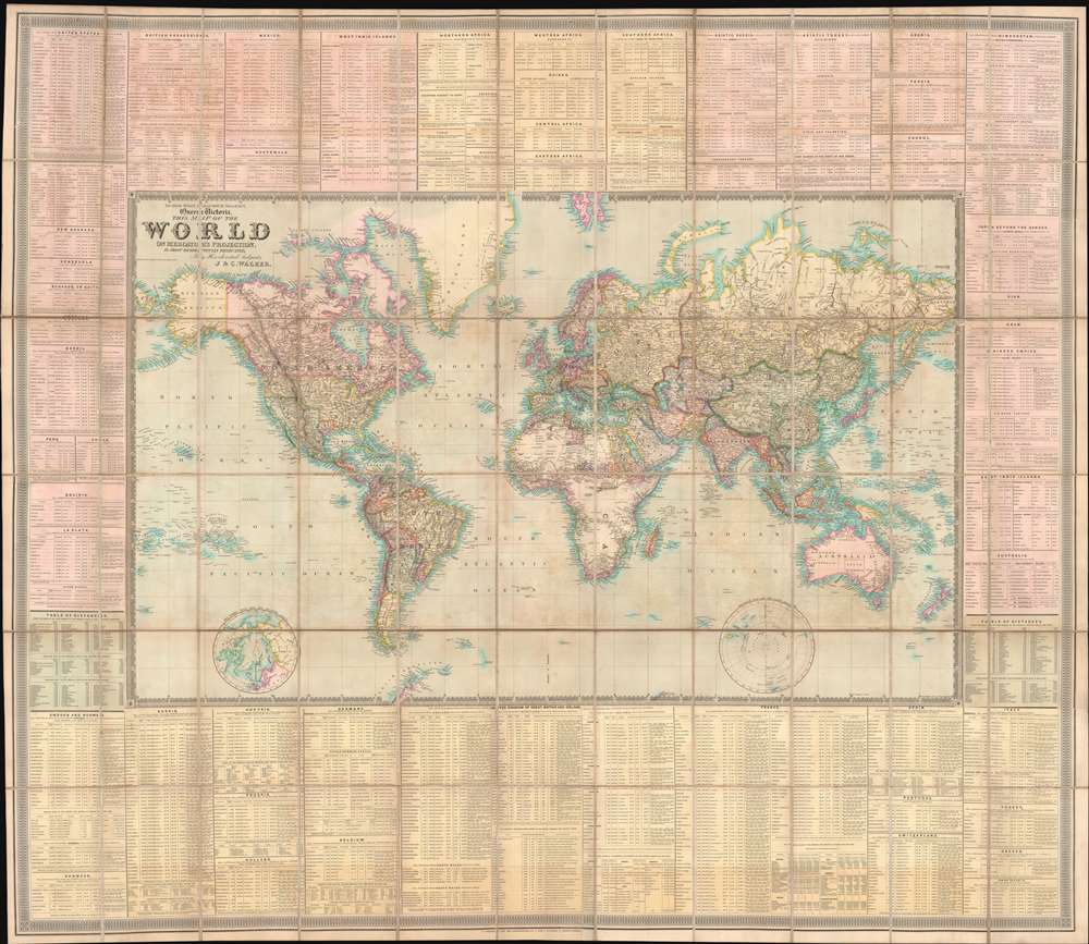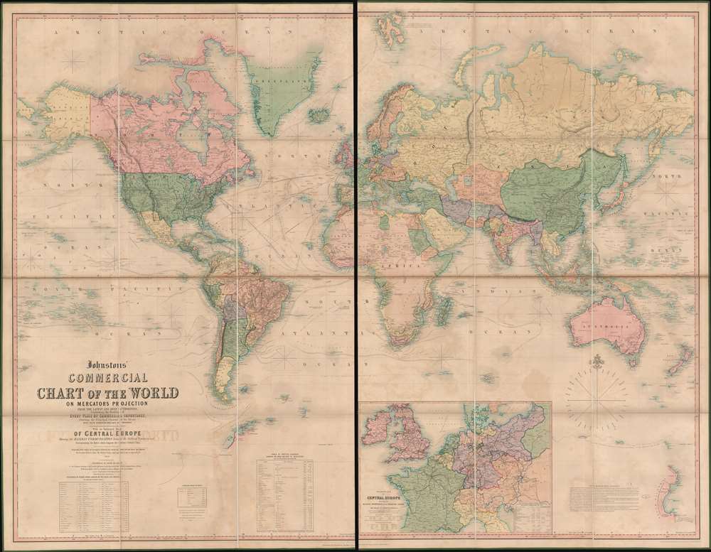
Johnstons' Commercial Chart of the World on Mercators Projection from the latest and Best Authorities Containing the Position of Every Place of Commercial Importance, Shhowing the Princial Currents of hte Ocean with their Direction and Rate of Progress. With an Enlarged Map of Central Europe Showing the Railway Communication between the Different Countries, and Distinguishing the States which compose the German Customs Union.: Geographicus Rare Antique Maps
Antique Maps of the World. Gallery of authentic historic rare world maps from the 16th to the 19th centuries.
Source: geographicus.com