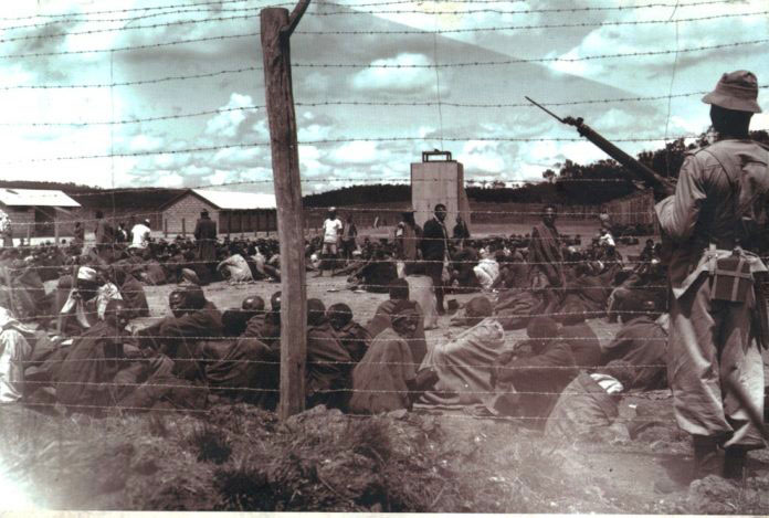
Will UK security agencies learn lessons from their coll...
Colonial powers carved up land between them, dividing age-old settlements, tribes and indigenous peoples. A map of Africa can tell us that. Other maps show boundaries, the result of partitions by Britain that remain a cause of violent conflict in the Middle East, Asia — and the United Kingdom. This year, 3 May marks the centenary of the creation of Northern Ireland, made up of six of Ulster’s nine counties (widely but wrongly referred to as “The Province”). It is not a time for celebration, even by Unionists, who support the UK. Two books have now been added to the voluminous librar...
Source: dailymaverick.co.za